About Gecnet About Gecnet |
 Rationales Rationales |
|
Northeast Thailand has been, and continuous to be the focus of numerous research programs. The region’s problems with respect to natural resource management, disaster risk area and misuse of land have been well – identified. The clearing of forests to create new farmland, which has progressed at an increasing rate in the last past three decades, has had consequences for surface water hydrology, and has accelerated the processes of soil erosion and soil salinization. Disasters, drought and flooding, have the most profound effect on the way of living and regional economy. It is also a major menace to regional food supplies. Finally, the misuse of land, land suitable for agriculture utilized for industrial and real estate development, leads to social and economic problems. Before these can be achieved, information about land resources and related issue must be assembled in a spatial context and made available.
At various times over a decade duration of the remote sensing and GIS development at KKU, a number of projects have arisen in the areas of land evaluation, climatology, remote sensing and GIS. In addition, the continuous support of NRCT (concurrently GISTDA),CIDA and French Government, the results of work have been conducted as database establishment, technical reports and published papers. | |
Furthermore the support of computer center staff enhances the capacity building in this development. Remote Sensing and GIS are widely accepted in data acquisition for the establishment of spatial information and analytical tool for integrated information in terms of spatial contexts. Research into the application of satellite remote sensing data to thematic mapping of the earth resources has developed rapidly in the past twenty years. More recently, integration of spatial information has benefited from the analytical capabilities offered by GIS. The major challenges facing the institutes of the high cost technology is to develop the academic staff and research. The role of the centre is evident in terms of the university image in the globalization and local communities. |
|
Objectives |
|
- Integrated approaches to the development of knowledge base in natural resources, disaster and land use using GIS and Remote sensing.
- The capacity building of high technology in GIS and remote sensing, facilities and staff development.
- The technology transfer to support KKU student and other scientific communities and to rural organization in the Northeast.
|
The tools |
|
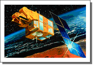
 Imagery Imagery
A range of satellite images are being uses by the project staff to extract spatial land resource information. This included image from Landsat, SPOT, Ikonos, Quick bird Satellites in digital forms which have been provided by the GISTDA.
| |
|
|
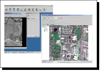
| | | | Analytical Equipment The practice of satellite image analysis has become a highly technical field usually requiring expensive computerized digital image processing equipment and specially – designed software. As the Continuous support of KKU, GISTDA and Other agencies, the analytical capacities at the centre have been evident this includes hardwares/softwares for spatial analysis and modeling in combination with KKU internet network system and digital highway supported by GISTDA.
|
|
Implementation |
|
Research
A number of research projects have been initiated as related to the northeast problems. The research projects to be accomplished included :
- Application of RADARSAT to flood risk areas in the northeast.
- Drought risk area analysis using GIS and satellite data.
- Land evaluation for economic crops.
- Diversity of land ecosystem.
- Soil erosion assessment and mapping.
- Basic research regarding GIS/remote Sensing technology.
|
| |
|
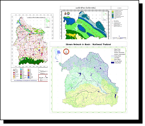
| | | | Establishment of spatial database
With the experience and knowledge gained from a number of projects, the centre is being put to use through the establishment of a natural resource database, acquired through the analysis of satellite imagery.
Academic Networks The network activities have been directed to the regional centers for geo-informatics that initiated by GISTDA. The regional centers include, Prince of Songkla University, Chiengmai University, Burapha University and Naresuan University. The common tasks to be accomplished is to exchange the prospects for research in the field of GIS and remote sensing. |
|
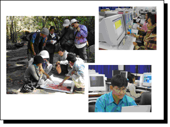
Graduate student support With the establishment of the centre, KKU added GIS and Remote sensing in the curriculum of the Faculty of Science in 1997. Many KKU students have made use of the staff, expertise and facilities for thesis and other academic activities.
Outreach program Outreach activities have been directed to the scientific communities. The centre has organized the seminar, workshop on remote sensing/GIS in order to disseminate our finding to the communities. In addition, project staff have been active in attending national and international conference and presenting the results of project activities. Scientific papers conducted by the project were published in the national and international journals.
| | |
|
|
|